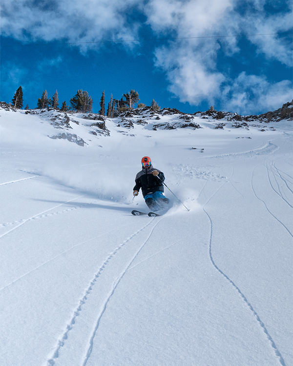
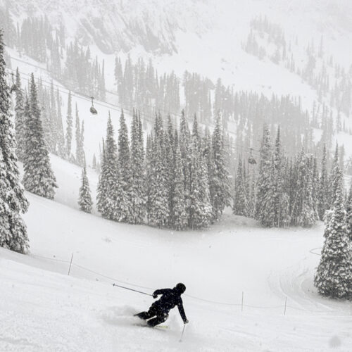
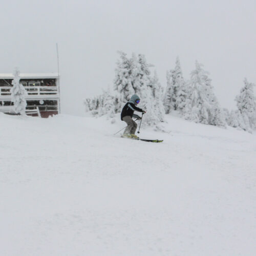
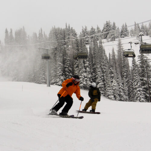
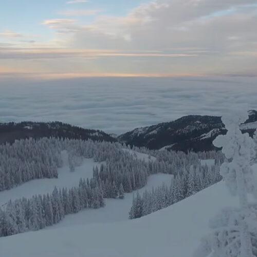
Weather Updates Archive

We are transitioning into spring operations and will be closed this week, Monday through Thursday. We will reopen Friday through Sunday.
The sun is dawning on another beautiful day at The Ridge! In the forecast: a slight chance of snow, a greater chance of clouds, comfortable temperatures, and a little wind. Overnight: below freezing temperatures across the mountain.
Winter is making an encore after a period of spring-like conditions. It cooled considerably overnight across the mountain, including dropping below freezing in the Base Area. Expect yesterday's soft, wet snow to have firmed considerably overnight. We were able to collect some snow, mostly at the summit, which will tide us over until the next offering scheduled later this week.
Good morning skiers! We are seeing spring conditions transition back into winter conditions with temperatures dropping below freezing and a dusting of snow falling at higher elevations. It's looking like we're on the front edge of a weather system sweeping up from the south that's bringing a bit of snow with it. We are forecast to accumulate some fresh over the course of the day and into the coming days.
We were fortunately spared from the worst of the forecasted storm last night, but we nonetheless picked up some rain in the early hours of the morning. We should expect highly variable conditions on the mountain that remain in flux throughout the day.
The official start to spring has brought near summer-like temperatures to the mountain. Before a potential return to winter conditions this weekend, we have another evening of warm temps forecast for Wednesday night (3/26).